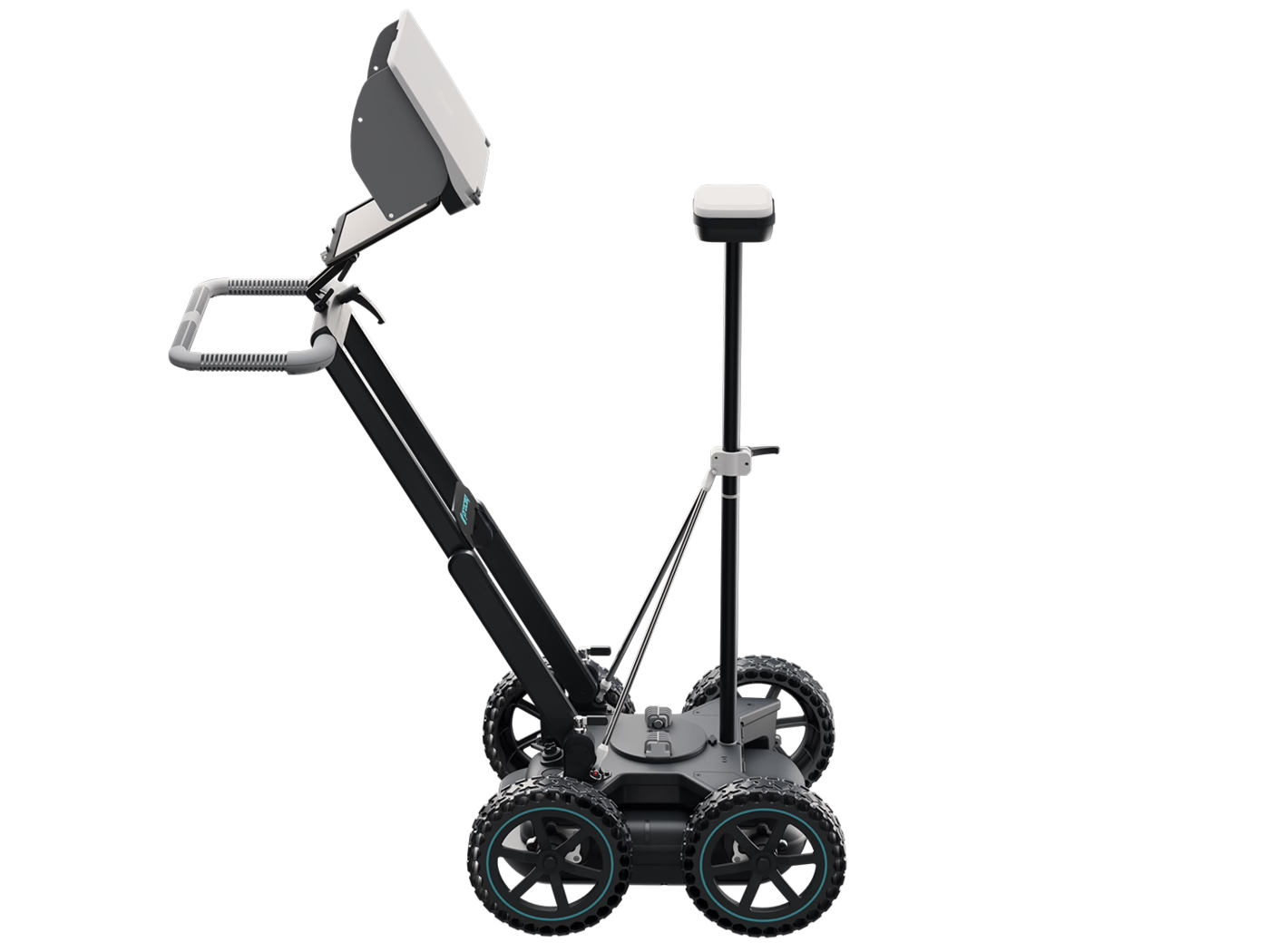
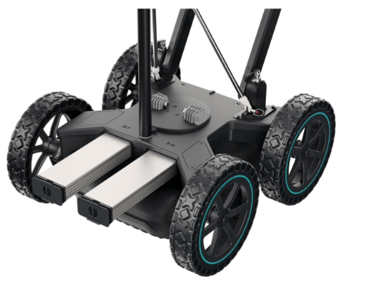
The most efficient real-time workflow and technology to scan and digitize the subsurface
- Get a clear image of the underground in 2D and 3D as you walk
- Digitize on-site findings on the map and send to CAD/GIS
- Access to your data from anywhere, anytime